•Distance: About 2.4 miles.
•Difficulty: easy.
Huckleberry Knob, at 5,560 feet, is the highest point easily reachable from the Cherohala Skyway, and it provides a magnificent panorama of the Unicoi Mountains. The wide trail—actually an old road—makes for an easy family hike, 2.4-miles round-trip. This is a “double-bump” hike that first climbs over Oak Knob (5440 feet) before descending into a meadow and then on to the broad summit of Huckleberry Knob. These two grassy balds, like nearby Hooper Bald, are deliberately maintained by USFS mowing and display wildflowers and even huckleberries in season. A number of bird species, like bobwhite quail, prefer the woodland openings provided by these balds.
Near the summit of Huckleberry Knob is a grave marked by a plaque and a large metal cross. In December 1899, two lumber company employees tried to walk cross-country to Robbinsville on a cold snowy day. Their bodies (and several jugs of whiskey) were found by a hunter about eight months later, three-quarters of a mile away from the gravesite on a small stream now called Dead Man’s Run. Those were rough and ready days. The set of remains more badly mauled by animals was buried on Huckleberry Knob. The other was given to a Robbinsville doctor for use as a medical exhibit.
The grave of Andy Sherman near the summit of Huckleberry Knob (el. 5560ft/1695m) in the Unicoi Mountains of the southeastern United States. Sherman worked in a logging camp along Tellico River (near modern Tellico Plains, Tennessee) in the late 1890s. He and a friend named Paul O'Neil left the camp on December 11, 1899, headed across the main crest of the Unicoi Mountains en route to Robbinsville, North Carolina. A hunter found their dead bodies several months later, surrounded by several jugs of whiskey.
Like Falls Branch Falls, Huckleberry Knob seems to be deliberately under-advertised by the Forest Service, although there is a fine trailhead marker and paved parking for several cars. Traveling west on the Cherohala Skyway, the trailhead is located on the right about a half-mile beyond mile marker 9, that is, about 8.5 miles from the Tennessee border
 |
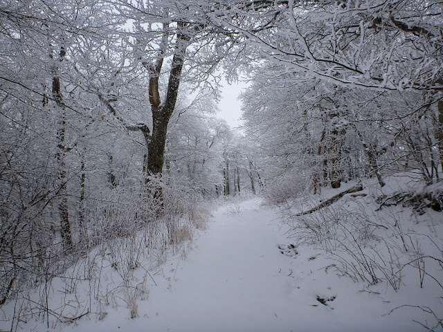
| At the beginning of the trail in the snow |
 |
| It was a warm 15 degrees |
 |
| It was still snowing on the way to the top |
 |
| So pure so beautiful |
 |
| I love hiking in the snow |
 |
| I Love the Snow |
 |
| Gravesite Of Andy Sherman At Huckleberry Knob |
 |
| Over 8 inches of snow on the top of HuckleBerry Knob |
 |
| Atti and I at the top of HuckleBerry Knob |
No comments:
Post a Comment